Hiking the Isle of Wight Coastal Path from Ryde to The Needles
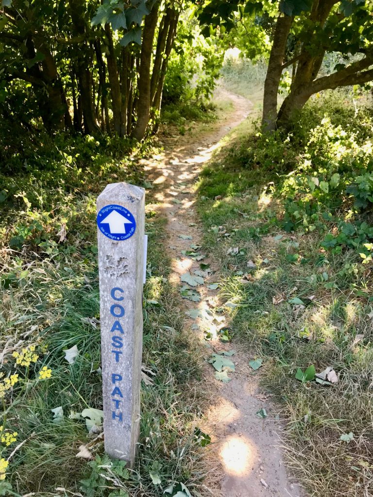
The Isle of Wight Coastal Path is an undeniably beautiful hiking route—offering every kind of coastal landscape imaginable; from quiet estuaries, to deserted woodlands, and exposed cliffs with panoramic views.
To celebrate the longest day of the year, Isle of Wight adventurer Tim Wiggins and a friend took on the challenge of completing the northern half of the route—from Ryde Pier Head to The Needles. The 33-mile route would be his longest day-hike to date and here he talks us through his journey.
We began at 06:30 at Ryde Pier. The sun was coming up, and a strong westerly wind offered a cooling breeze on our faces as we strode out down the pier.
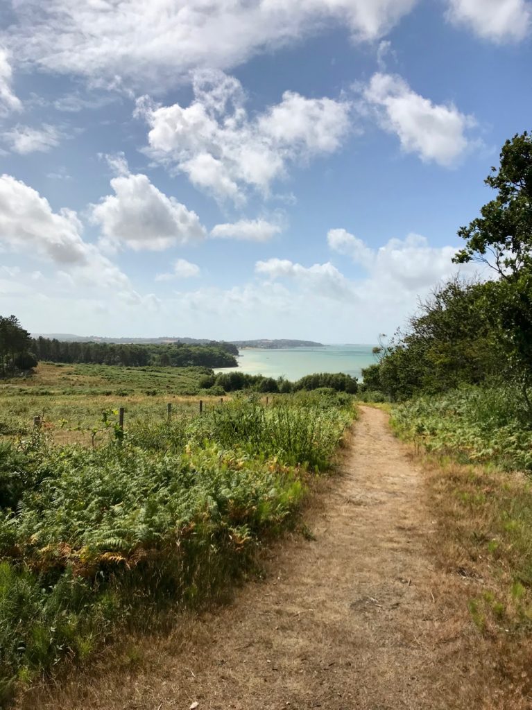
Joining the well signposted path, we headed west past Quarr Abbey, through Wootton and onwards to East Cowes—a calming and quiet walk through woodlands and around the edge of the serene Wootton Creek.
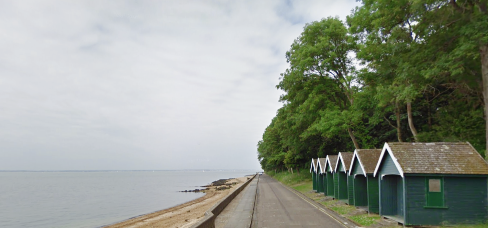
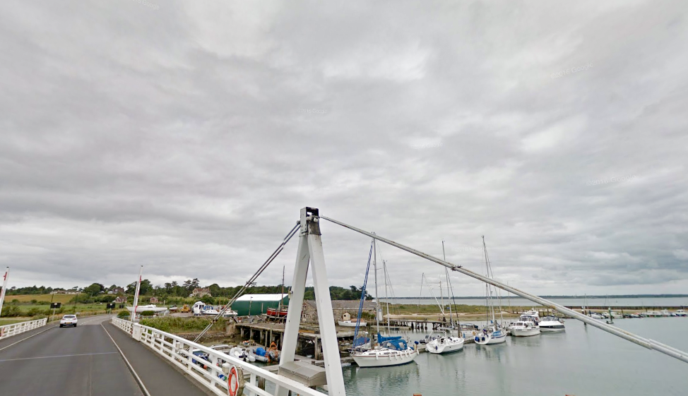
Stopping for a quick coffee in East Cowes, we then crossed the River Medina on the chain ferry and made our way down a bustling Cowes High Street to The Parade. After the seclusion of the woodlands on the north east coast, the town of Cowes was humming with excitement—as sailing regattas and visiting yachtsmen enjoyed the strong breeze and champagne sailing conditions.
The hills really begin after Cowes, and so too did the exposure to the now 40 knot high winds. We clung to the coastline, weaving along the cliff path, and stomping along the shoreline around Gurnard and Thorness Bay.
By the time we reached Newtown Creek we had been walking for close to five hours and paused at The New Inn in Shalfleet for a quick lunch and ice-cold drink.
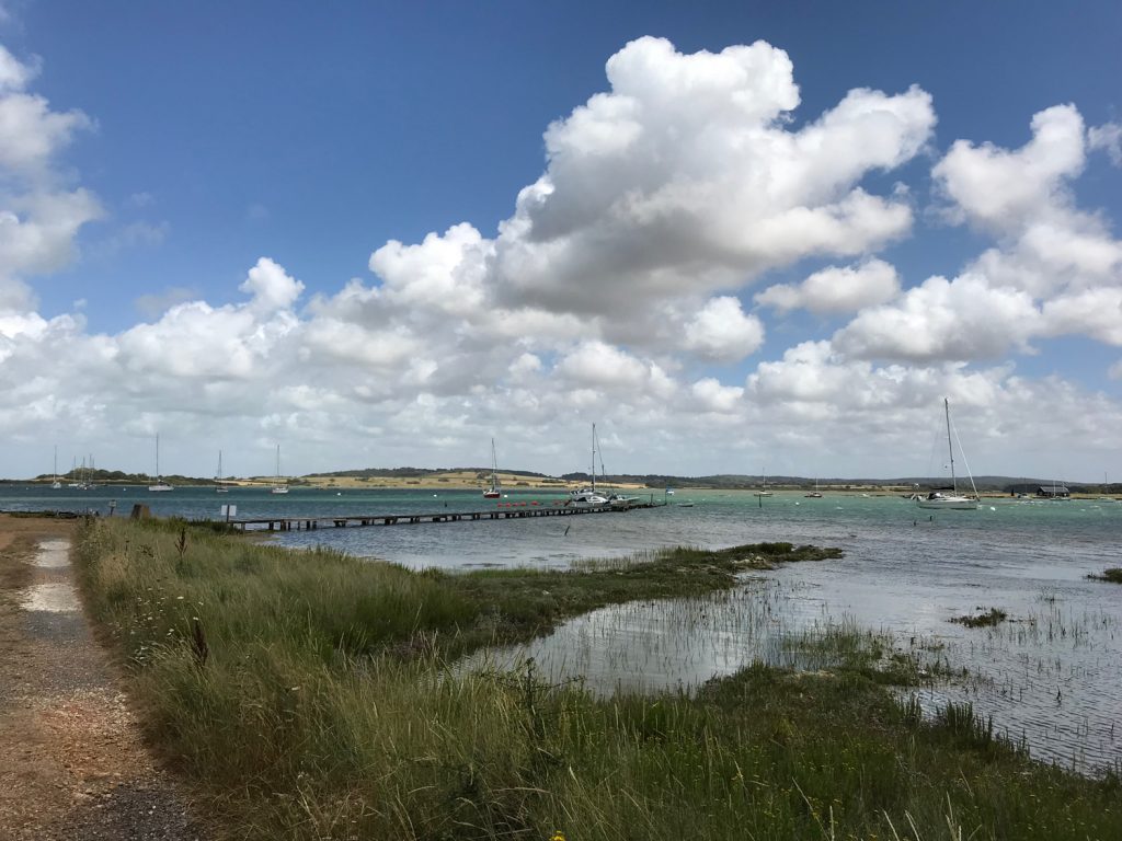
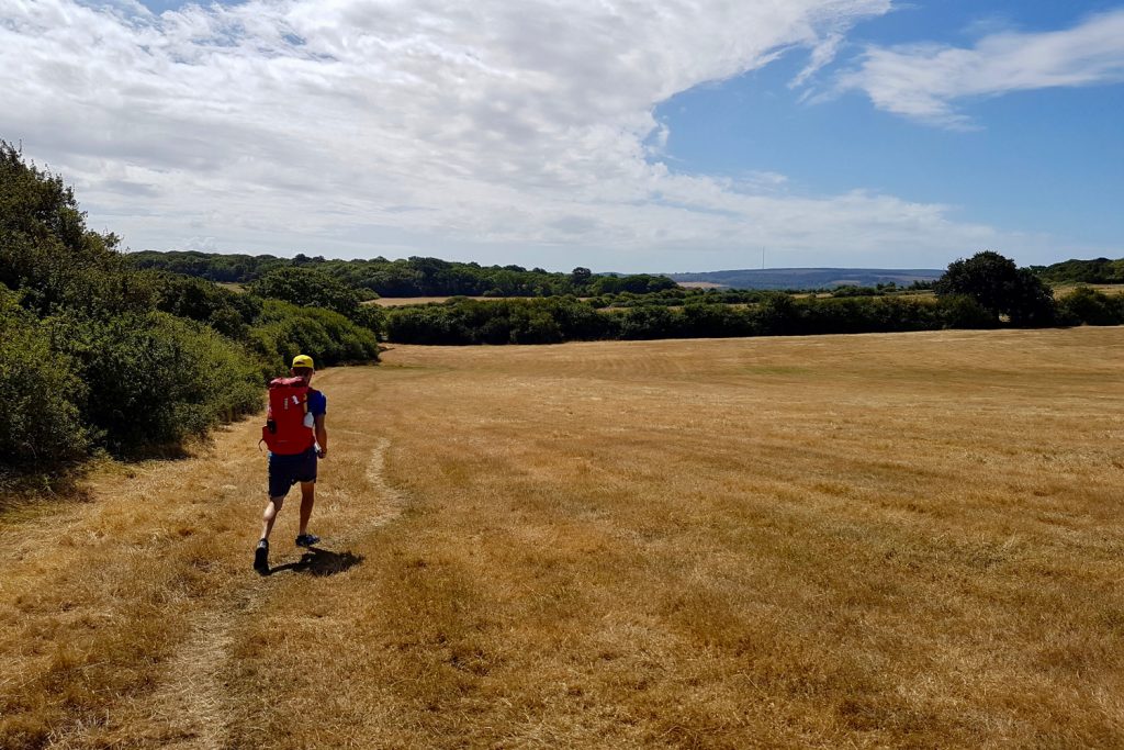
Shalfleet to Yarmouth is only around four kilometres by road, but the coastal path weaves its way northwards on the very edge of Newtown Creek—a loop that trebles that distance. It is a stunningly beautiful path—with boardwalks taking you through the nature reserves and shaded Bouldner Forest. The long stretch caught us a little by surprise though, and it was late afternoon when we eventually strode into Yarmouth town with a marathon distance of 26.2 miles clocked.
For hikers visiting from the mainland, Yarmouth would be the ideal endpoint of this day-hike; you could jump on the Wightlink Lymington ferry and head back to the ‘Big Island’—after enjoying an ice-cream on the harbourside. For us though, we still had a few more miles to walk before sundown…
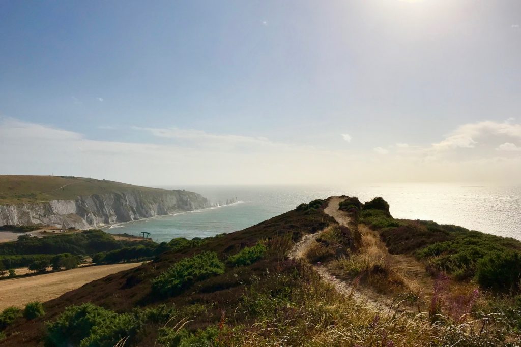
We strode on through to the historic Fort Victoria and then onwards to Fort Albert. Gingerly making our way along the crumbling sea wall into Colwell Bay and around to Totland Bay, we could now feel the full force of the westerly gale whipping up the sea in white plumes of spray.
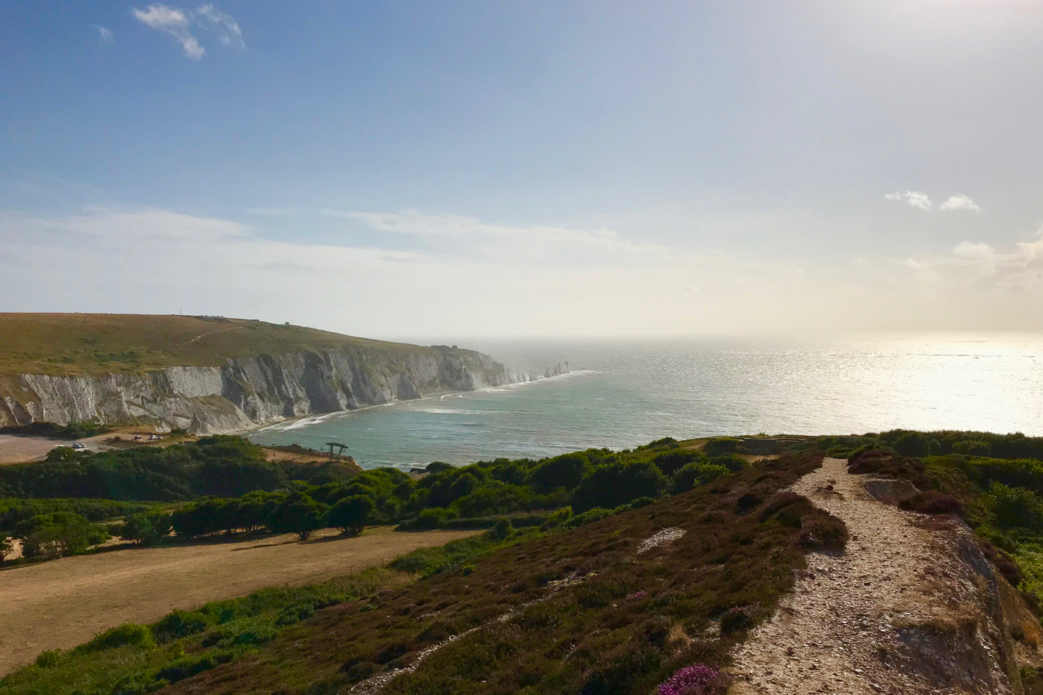
Retreating up the steps to Totland village, we walked out onto the exposed nature reserve of Headon Warren. With the sun dipping towards the horizon, and the wind continuing to build, we finished our hike sat at Hatherwood Battery on the Headon heathland—looking out on The Needles and the English Channel beyond.
This really is a spectacular path. From the calm shady woodlands of the East Wight, to the bird filled estuaries and exposed cliff-top paths of the western half; if you are looking for a challenging all-day hike that offers some of the best landscapes that the Isle of Wight has to offer—then the Coastal Path is well worth exploring.
You can follow more of Tim’s adventures at lifeinthesaddle.cc